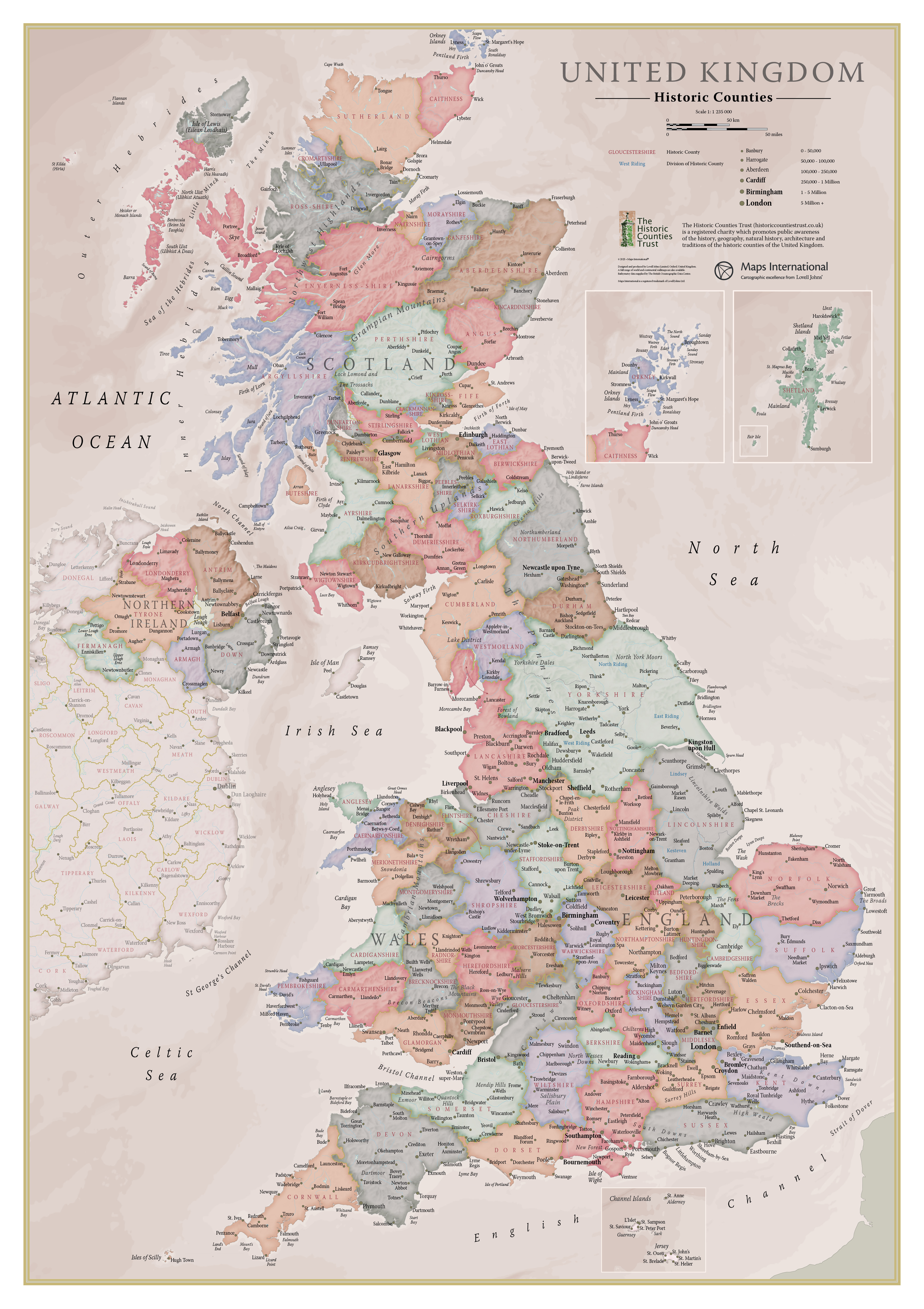
Wall Map of the Historic Counties - £9.99
Created for the Historic Counties Trust by the expert cartographers of Lovell Johns, this A1 (23.4 x 33.1 inches) wall map of the Historic Counties of the United Kingdom is a colourful and educational piece of home or office decoration. The map is available for £9.99 + P&P.
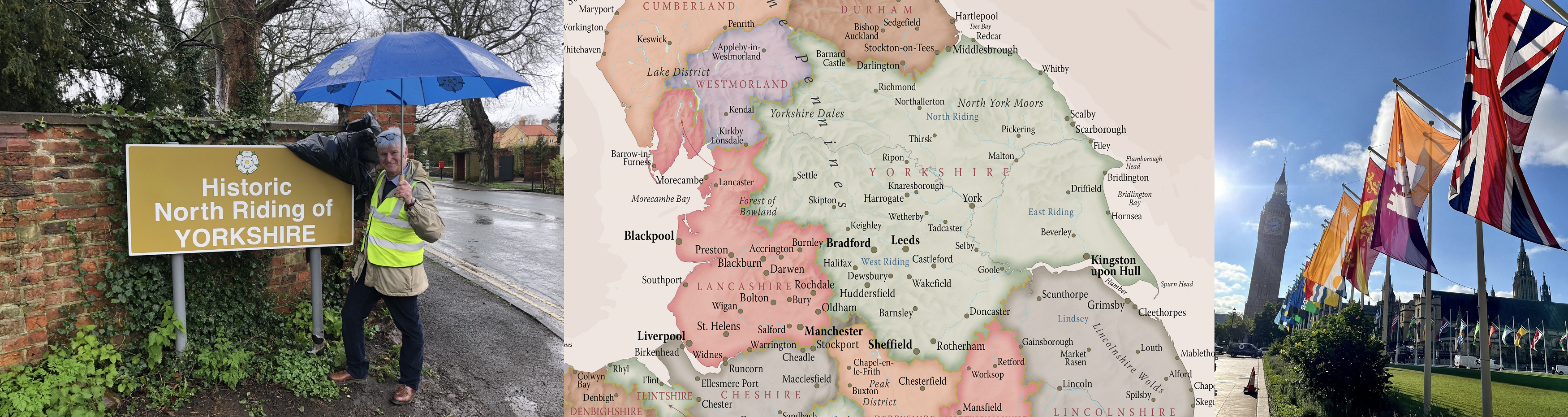
The map features every historic county in a different colour, as well as the Ridings of Yorkshire and the Parts of Lincolnshire. Major towns and cities are highlighted, along with hill and sea shading. The map is finished with write-on front sheet lamination. The supplied map is not framed and is rolled in a tube for delivery.
The map is © 2025 Maps International®. Maps International is a registered trademark of Lovell Johns Limited, Oxford, United Kingdom.
© Historic Counties Trust 2026 · Registered Charity No. 1114371 · enquiries@historiccountiestrust.co.uk · About Us